GeoPin
AI, visual place recognition, 2025
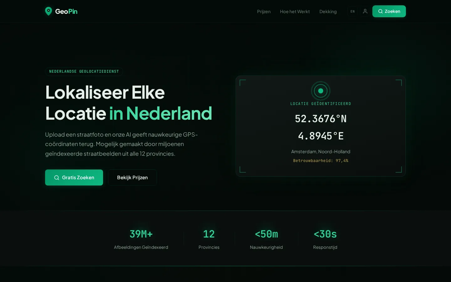
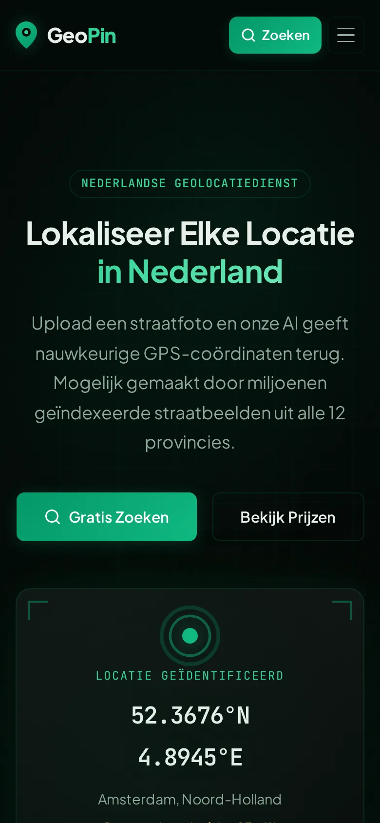
GeoPin determines from a photo where in the Netherlands it was taken, without GPS data. A visual place recognition model compares the photo with a collection of street imagery.
- Role
- Design and build
- Stack
- Astro, serverless, Python, GPU-backend
- Status
- Live
- Type
- Product
The problem
Photos without location data are hard to place. Searching maps and street imagery by hand takes a lot of time.
Approach
A visual place recognition model compares the photo with a collection of street imagery we assembled from open sources such as Mapillary, KartaView and Panoramax.
Inference runs on a GPU backend of our own. The site is built in Astro, with an edge layer in front.
Result
GeoPin is live at geopin.nl, in Dutch and English.
Worth noting
-
No GPS needed
The photo itself is the only input.
-
Open image sources
Street imagery from open sources.
-
Managed GPU backend
Inference runs on hardware we manage.
In pictures
Facing something similar?
Describe briefly what is done by hand today. You get an honest answer, even if the answer is that it does not pay off.